2 November 2026
Field notes: the shade house that looked like a vacant lot from overhead
Why shade houses often vanish from overhead structure counts, and what that blind spot costs an input supplier sizing a territory.
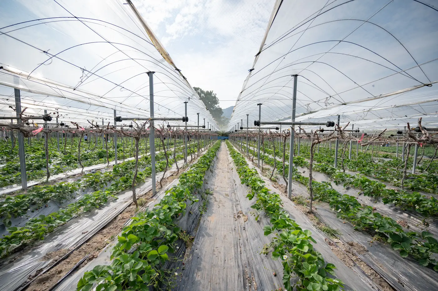
We were cross-checking a shade house district outside a packing operation last month, the kind of job where you overlay last year's structure layer on the new pass and look for what moved. Most of the tile behaved the way protected-cropping tile is supposed to. Poly houses threw their usual bright, even glare. Glass ranges showed the grid lines of their bays like graph paper. Then there was a nine-acre block that had been a working shade house for at least three seasons, by every account from the grower relations team, and from directly overhead it read as a vacant lot.
There was no sheen to it and no roofline, just a rectangle of pale, slightly mottled dirt with a faint rhythm to it if you squinted, which turned out to be the shadow lines of the post rows.
This is the structure type that gets missed in a straight optical pass, and it's worth saying plainly why. A poly or glass house has a skin that does the interpreter's job for it. Film and glass are specular. They catch the sun and bounce it back toward the sensor at a nadir angle, so even a mediocre pass lights the structure up against the surrounding soil and canopy. Shade cloth doesn't do that.
It's a woven fabric, usually black or dark green, and its whole design purpose is to absorb and diffuse light rather than reflect it. Overhead, it reads closer to a parking lot or a bare pivot corner than to any kind of built structure. Add a retractable or roll-back system, which a fair share of shade operations run so they can pull cloth during cooler stretches or before a hail cell, and you can catch the block on a day when the cloth is stowed at the gable end and the whole footprint is just frame and dirt.
For anyone doing field survey, this is a known nuisance and a slow one to fix, because you only catch it by driving past or by trusting a grower's word over the imagery. For anyone trying to size a region from a desk, it's a structural gap in the count, not a rounding error. A shade house footprint carries real weight for an input supplier. It's a line item for cloth replacement cycles, for the substrate and fertigation gear that go under it, for the hail and wind-load risk that shade operations carry differently than poly does. If the structure doesn't show up in the inventory because it didn't glint on the day of the pass, the territory estimate comes in light exactly where the lighter-infrastructure, often lower-margin growers sit. That's a real number to carry wrong into a planning cycle.
Classifying the structure takes more than a brightness threshold on one image: edge regularity, the post-row shadow pattern, the NIR response of whatever's growing underneath the cloth versus bare soil, and treating "no glint" as a category worth a second look rather than a null result. Pattern-matching a crop of nine thousand near-identical poly roofs is the easy part of this work. Catching the nine-acre rectangle that looks like nothing is where a region's actual footprint lives, and it's why Greenhouse Mapping's classification runs on more than reflectance alone before anything gets called a vacant lot.
We've started flagging these mixed-signal blocks for a second look rather than letting them fall out of the count silently, which has turned up a handful of working shade operations that earlier passes had scored as open ground. If you're sizing a protected-cropping territory and want the shade houses counted along with the glass and the poly, the structure inventory on the Greenhouse Mapping home page is where that count lives.
Worth a look before your next territory plan assumes the dirt is just dirt.