16 November 2026
Field notes: the valley where the greenhouse count finally caught up with the zoning map
A field note on why zoning maps undercount protected-cropping structures, and what closes the gap between the parcel file and the roofline.
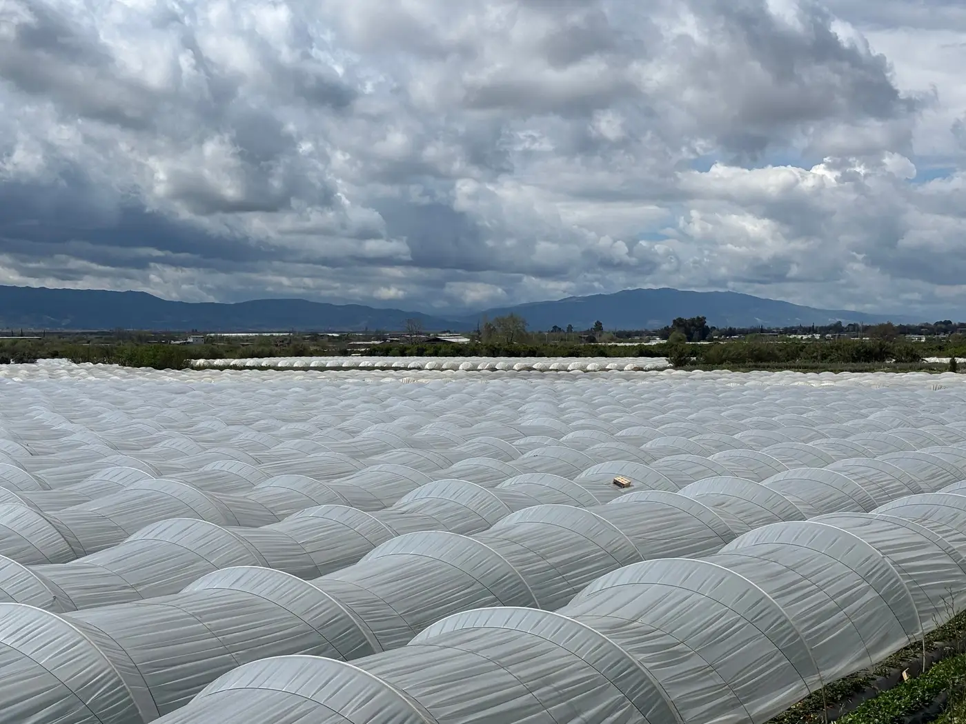
Every input supplier who's worked a growing valley long enough has a version of this story. You pull the county zoning layer to plan a territory, and it says forty-some structures on file for ag-greenhouse use. You drive the frontage road on a Tuesday and count sixty roofs before lunch, and you haven't even gone up the side canyons yet.
Most of that gap is paperwork drag.
A grower puts up a gothic high tunnel on a back forty that was already zoned ag, so there's no permit trigger, no variance hearing, nothing that lands on a planner's desk. Another operation re-skins a block of old glass houses with double poly after a hailstorm and never touches the county because the footprint didn't change, just the covering. A third buys the adjoining forty from a retiring neighbor, moves the fence line, and the new poly tunnels going up on it get filed under the old owner's parcel number, if they get filed at all. None of this is anyone cutting corners. It's just that a structure can go up, come down, and go up again under a different skin faster than any zoning office turns a file.
What catches up eventually is the county assessor, usually on a multi-year reassessment cycle, flying a fixed-wing pass every three to five years depending on the budget that year. In between flights, the zoning map is a photograph of a valley that doesn't exist anymore. Anyone planning input distribution, fertigation routes, or structure-specific coverage off that map is planning against last decade's valley.
I spent a few afternoons this fall walking a stretch of valley floor with a grower who'd been there since his father's time, and he put it about as plainly as I've heard it: "The county knows what Dad built. They don't know what I built." He wasn't being cagey about it. He just didn't see the point of a permit renewal for a roof that was already zoned right, on land that was already his, covering a crop that was already legal. From where he's sitting, that's not a gap. That's just how a working operation grows.
From where an input supplier sits sizing territory, though, it's the difference between forty accounts and sixty. It's the difference between a route density that pencils and one that doesn't. And it compounds, because the structures that go up quietly, the back-forty tunnel, the re-skinned glass block, tend to be exactly the ones nobody's driven past lately. The visible road-frontage greenhouses get counted because everyone sees them. The ones tucked behind a windbreak or up a side canyon are the ones the zoning file is still missing years later.
The fix that works is a yearly check against the roofline itself. A field census can close the gap eventually, but it's slow, it's expensive, and it goes stale the day the crew wraps up. A yearly satellite pass sidesteps the permit question entirely: it doesn't care when anything was filed, only whether the structure is standing. Run that against the zoning layer once a year and the valley's count catches up to what's actually out there, glass, poly, gothic tunnel, Quonset, whatever's gone up since the last flyover, no fence line arguments involved.
The valley I'm describing didn't get smaller on paper. It got honest. If you're sizing a territory off a zoning file that's a few years old, it's worth asking what grew in the gap, and Greenhouse Mapping builds exactly that annual structure inventory from the imagery, not the permit stack. Worth a look before the next route plan gets drawn.