26 October 2026
How to tell an active greenhouse range from an abandoned one in satellite imagery
Glazing condition, ground cover, and NIR signal: the visual cues that separate a working protected-cropping range from a derelict one.
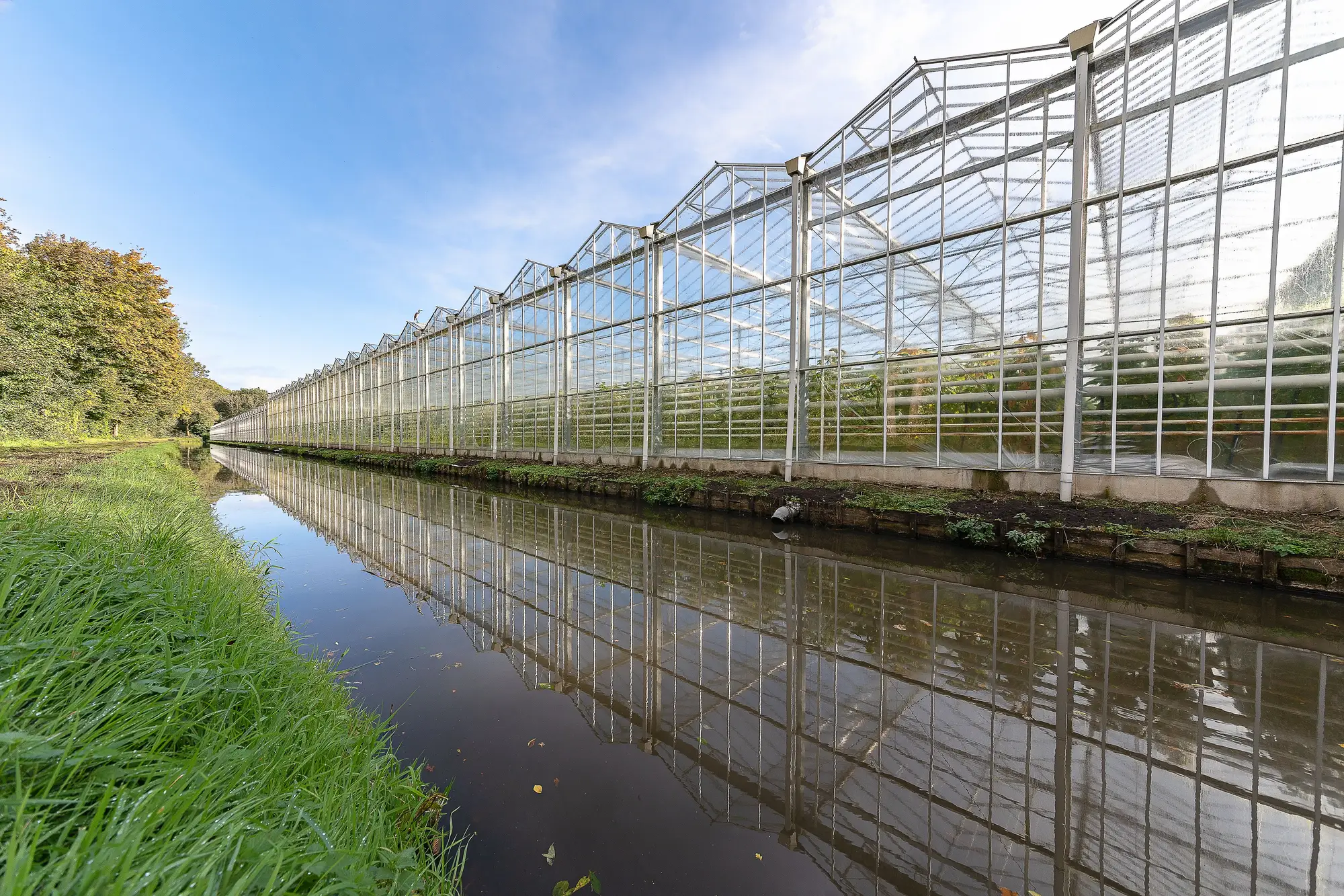
From one pass of satellite imagery, a working gutter-connected range and a range nobody has touched in three seasons can throw off almost the same footprint. Same rectangle, same bay spacing, same orientation to the sun. The glazing reads the same shade of gray from 500 km up unless you know where to look closer.
For anyone sizing protected-cropping territory for input sales or planning purposes, that distinction matters more than the footprint itself. A derelict range still counts as square footage on a tax record, but it isn't buying substrate, isn't ordering fertigation lines, and isn't a lead. Here's what separates the two in imagery.
Start with the glazing, not the footprint
Active glass and poly weather, but it weathers evenly, because somebody is replacing panels and patching poly on a schedule. Derelict structures don't get that maintenance, so the glazing goes patchy: sun-bleached poly next to a dark gap where a panel caved in, or a section of roof that's gone missing entirely and shows bare soil or collapsed framing underneath. A single blown-out bay on an otherwise uniform range is a strong tell on its own. A range with several, scattered unevenly, is derelict until proven otherwise.
Color consistency inside the footprint is the other giveaway. One abandoned bay can sit in the middle of an otherwise active block, so check the whole structure, not just the edge nearest the road.
Read the ground around the structure
A working range has traffic: a graded access path to the loading dock, tire tracks between bays, a gravel pad for propane or CO2 tanks that stays bare because trucks sit on it. An idle range loses all of that within a season or two. Weeds come up through the gravel, the access road softens at the edges where nobody's driven it, and the perimeter grass grows past the point where mowing stops being optional.
Look at what's growing where the crop should be, too. A range standing empty for a full cycle often shows volunteer vegetation inside the structure through broken glazing, a different texture and a different green than a managed crop canopy. Row crops read uniform. Whatever seeds itself in through a hole in the roof doesn't.
Check what NIR tells you that RGB can't
This is where a near-infrared band earns its keep. A live crop canopy under glass or poly, even heavily diffused, still produces a photosynthetic signal that shows up differently in NIR than bare soil, concrete flooring, or collapsed structure. An active range with vents open during the day will often show that canopy signal leaking through. A derelict one, structurally intact but empty inside, reads flat: no crop signature, no irrigation shadow pattern, nothing moving between passes.
One pass isn't enough
A single image is a snapshot of one day's light, one point in a crop cycle, one season's weather. A range between plantings can look idle in a single frame and be back in full production six weeks later. The signal that actually separates active from abandoned shows up across repeat passes: glazing condition holding steady or degrading, ground cover staying bare or going to weed, the NIR signature coming back season after season or never coming back at all. That's a pattern, not a guess from one image.
That's also why a one-time scan of a region, however detailed, undercounts the real picture. Structures get patched, abandoned, or torn down between surveys, and a map built once goes stale the moment the next season's glazing work starts. An annual structure inventory across the territory catches that turnover instead of freezing one year's condition as fact.
If you're sizing a protected-cropping territory and need to know which structures on the map are still buying inputs, that's the problem Greenhouse Mapping is built to solve.