13 October 2026
Shade house vs screenhouse: how to tell them apart in satellite imagery
A field guide to distinguishing shade houses from screenhouses in high-res satellite imagery, by roof reflectance, wall type, and shadow pattern.
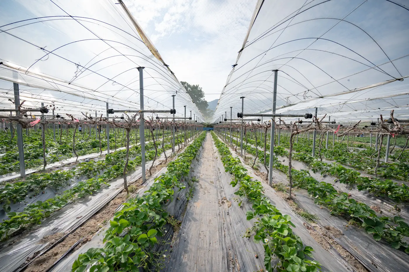
Anyone who has tried to classify protected-cropping structures from an aerial pass knows the real trouble isn't spotting a greenhouse. Glass and polyethylene read clearly even at modest resolution. The trouble is the gray zone between a shade house and a screenhouse, two structure types that get lumped together in a lot of ag inventories even though they serve different crops, carry different input demand, and look genuinely different once you know what to check.
What separates them on the ground
A shade house is built to cut light. Growers put one up over nursery stock, cut flowers, or ornamentals that scorch under full sun, and the covering is usually a woven shade cloth rated by percentage of light block, commonly somewhere in the 30-70% range. The cloth is often black or dark green, and a lot of shade houses are open-sided or have mesh walls rather than a sealed perimeter, because keeping bugs out isn't the point.
A screenhouse is built to keep insects off the crop, not to cut light. The mesh is finer, lighter in color (white or clear monofilament is common), and the whole structure is enclosed on all sides, including the doors, because one gap defeats the purpose. Screenhouses show up a lot around peppers, tomatoes, and other vegetables where whitefly or thrips pressure drives the economics, and growers in that segment often pair the structure with a specific fertigation and IPM input program that shade-house ornamental growers don't run.
So the two structures diverge on covering material, light transmission, wall enclosure, and crop. All four of those differences leave a trace in high-res imagery, even without a site visit.
What shows up differently in a satellite pass
At 0.5-2 m resolution with RGB and NIR bands, four cues do most of the work:
Roof reflectance. Shade cloth, especially dark shade cloth, reads darker and flatter in the visible bands than screen mesh. A screenhouse roof, being a finer, lighter weave, tends to return a brighter signature, closer to what you'd see off a greenhouse's glazing, just dimmer.
NIR response. Dense woven shade cloth blocks enough light that very little crop canopy is visible underneath, so the NIR signal from inside the footprint stays low and uniform. A screenhouse lets more light through, and if the crop inside is dense (which it usually is, given the input intensity screenhouse growers run), you'll often pick up a brighter, more textured NIR return from canopy showing through the mesh.
Wall line. This is the most reliable single tell. Trace the structure's perimeter. A full, continuous wall line all the way around, with no visible gaps at what should be the access points, points to a screenhouse. A broken or partial wall line, or open sides that read as bare ground or shadow rather than covered structure, points to a shade house.
Shadow geometry. Shade houses are frequently lower-profile and open-sided, so the shadow they cast reads thinner and less sharply edged than the shadow off a fully enclosed screenhouse of the same footprint. It's a secondary cue, best used to confirm what the roof and wall signatures already suggest, not as a standalone call.
None of these four cues is bulletproof on its own. A screenhouse with heavily shaded crop underneath, or a shade house using a lighter-colored cloth, can blur the distinction, and ground truth still matters when stakes are high. But stacked together, roof reflectance plus NIR texture plus wall continuity gets a planner or input supplier most of the way to a correct classification across a whole region, without walking every parcel.
That's the job when you're sizing a protected-cropping territory for input demand or planning purposes: telling the different structure types apart consistently enough to budget for them. Greenhouse Mapping builds that structure-level inventory, classified by type, from an annual high-res pass over whatever region you're sizing.
If you're trying to put a number on the shade houses and screenhouses across a region, get in touch about what Greenhouse Mapping can cover for your territory.